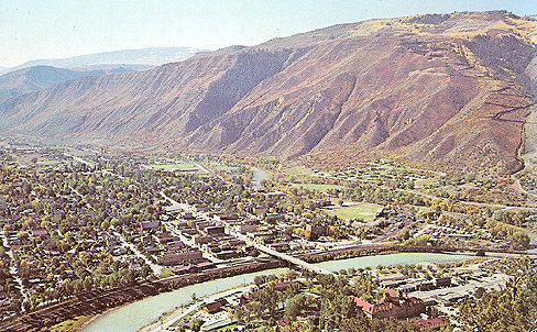
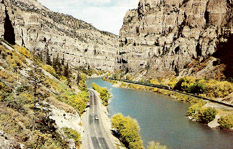
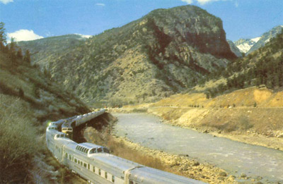
Garfield County, Colorado


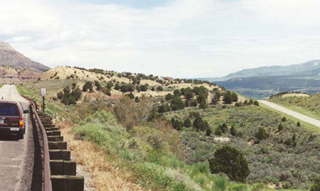
Colorado boasts some great Route 6 old road segments, as most through traffic takes I-70. The above May 2001 photo, taken between De Beque and Parachute (formerly called Grand Valley), shows I-70 on the left and a graceful segment of old 6 on the right.
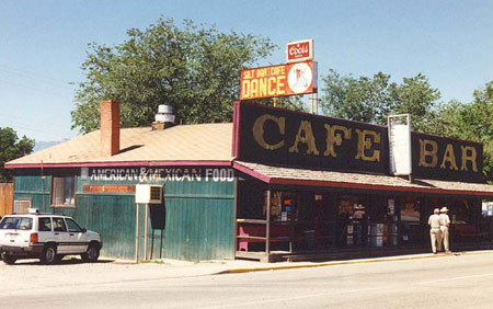
Old Route 6 still goes right through the main streets of most Colorado towns in what is now the I-70 corridor. Here in Silt is a place that no doubt has satisfied the hunger and thirst of many Route 6 travelers. (July 1998 photo)


Glenwood Springs, viewed from the north in this 1960s postcard.  In the foreground is the Hotel Colorado.  The railroad is on the south side of the Colorado River and Route 6 on the north side, nearest the hotel.  Later, I-70 would be squeezed in between the river and the hotel.


This stretch of the Colorado River through Glenwood Canyon offers the Route 6 explorer some great scenery. Prior to the intrusion of I-70, which involved some rather spectacular highway engineering, Route 6 shared this narrow gauntlet with the Colorado River and the Denver & Rio Grande Western Railroad. This 1950s postcard on the left shows the two California Zephyrs (of the Burlington Route), which met daily in Glenwood Canyon at the halfway point between Chicago and San Francisco. On the opposite side of the river is two-lane Route 6.
 
Above is another pre-I-70 postcard view of Glenwood Canyon, this time with Route 6 on the left and the rail line on the right.

Back to Colorado Counties Map