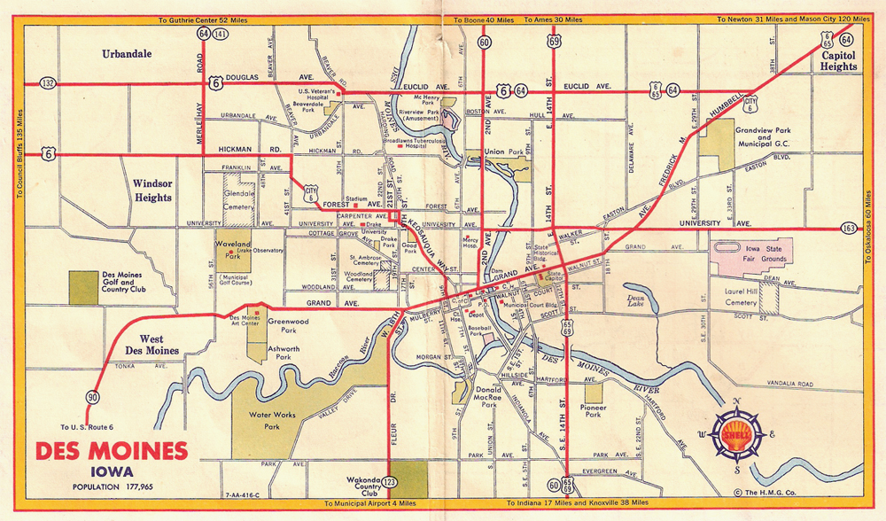
 Polk County, Iowa

For several decades, and in a number
of cities including Des Moines, Route 6 was split among a "City 6" through
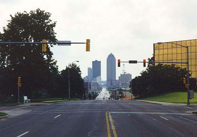
town and a more peripheral "beltway" route. This July 1998 west-facing photo of Grand Avenue is taken from a location just next to the Iowa state capitol building. Grand Avenue was the original path of Route 6 and later City 6. In the 1950s and 1960s, the route along this stretch was on the one-way couplet of Grand and Locust.
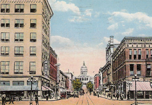
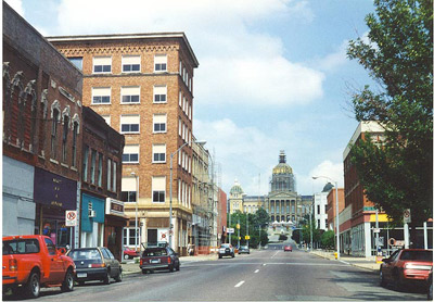
On the left is a 1920 postcard view
of the Iowa State Capitol building looking east on Locust Street from
downtown Des Moines. On the right is the same scene from July 1998.
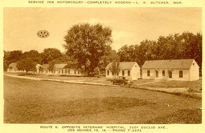
Route 6 still follows Euclid and Douglas Avenues
across the north side of Des Moines. This early 1950s postcard advertises
this motorcourt's proximity to the Veterans
Hospital.