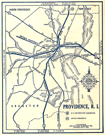
Providence County, Rhode Island


Old Route 6 west of North Scituate. (October 2000 photo)
A scene in Johnston, approaching Providence from the west on 6A, which is an old segment of Route 6. (October 2000 photo)
This October 2000 photo shows the main route of today's Route 6 through Providence. The current urban experience of 6 varies from city to city. In cases such as this, it zooms through town on limited-access highways; in other cases it is sent around the CBD or the city entirely on bypasses. In these situations, part of the game played by highway explorers is to find and follow the original route. Visible in this photo, partially hidden behind a newer building, is the 1928 Industrial Trust Building, which at 420 feet has been the tallest in Providence since it was completed. It is now known as the Bank of America Building.


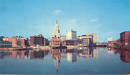
This 1960s postcard (above) shows how the Industrial Trust Building dominated the skyline of Providence at the time. A singular dominant skyscraper was common in many American cities in the mid-twentieth century. Some are on Route 6 including Los Angeles, Tonopah, Denver, Moline, Cleveland, and Hartford.

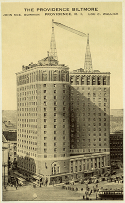
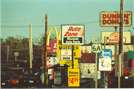
It was easy to see the Industrial Trust Building from Route 6 while negotiating the busy downtown streets, although it was a block away. Right on 6, however, was the Providence Biltmore (1920s postcard, right).  It was opened in 1922 with 600 rooms. Although closed between 1974 and 1979, the hotel is open today with 292 rooms and is listed on the National Historic Register.


This 1930 Map from Gallup's highway atlas shows the Route 6 path through Providence, well before four-lane limited-access highways were planned.
The above 1930 map shows Route 6 following Waterman Street and crossing the Seekonk River on the Red Bridge. Soon thereafter, the highway moved a bit south to cross the river on the Washington Bridge, and has done so ever since.  This massive arch bridge was competed in late 1930 with a double-bascule center span. It had replaced a nineteenth century swing bridge at the site.  In 1968 a twin span was added to the Washington Bridge and the bascule center section disabled.  Today it carries three U. S. highways, 1, 6, and 44, along with Interstate 195.  (Curt Teich Postcard Archives, Lake County Illinois Discovery Museum)


Back to Rhode Island Counties Map