 Chase County, Nebraska

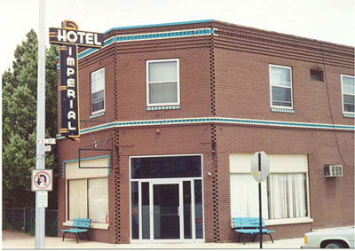
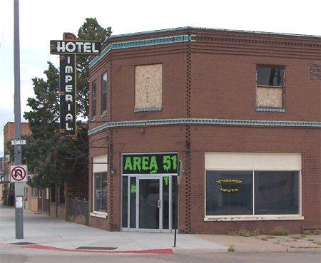
Many downtown hotel buildings remain along Route 6, but few are now used as hotels. Right down the road from Imperial is the [Little] Grand Canyon; why shouldn't Nebraska also have Area 51? (Photos: left, July 1998; right, June 2010)
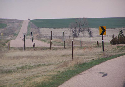
Old and "new" Route 6 meet at this
point eight miles east of Imperial. This April 2005 photo looks eastward
from the intersection of the two. The old road goes straight from here
toward Wauneta. The nearby part of this old road segment is on high ground
and affords some spectacular Great Plains vistas. The part near Wauneta
skirts a deeply dissected landscape that is locally referred to as "Little
Grand Canyon."
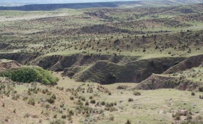
North and west of Wauneta is the
Little Grand Canyon. A tributary of Frenchman Creek, which Route 6 follows
from Waunetta southeast to Culbertson, formed this landscape. In general,
the bluffs along Frenchmans Creek are quite scenic and gave rise to the
name Palisade given to a town along Route 6. (May 2005 photo)
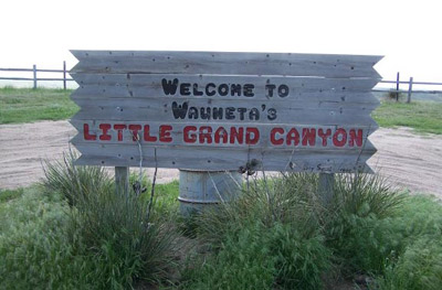
Just in case you didn't believe us
about the "Little Grand Canyon," here is proof of its existence. A viewing
area is behind the sign. (May 2005 photo)
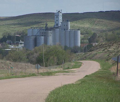
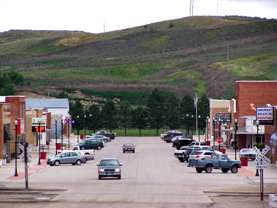
Wauneta is nestled up against the bluffs of the Frenchman's Creek Valley. The above April 2005 photo of the town is taken from atop the bluff on old Route 6 near the viewing spot for the Little Grand Canyon. The June 2010 photo on the right is taken from the opposite direction.
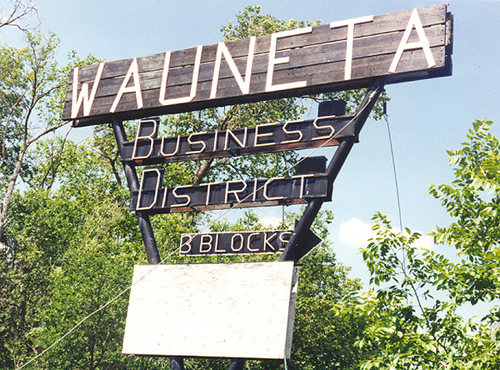
The old Route 6 went through downtown Wauneta. A newer version, probably established in the 1950s, is three blocks south of downtown, necessitating signage like this to lure travellers into downtown. (July 1998 photo)