 Clear Creek County, Colorado

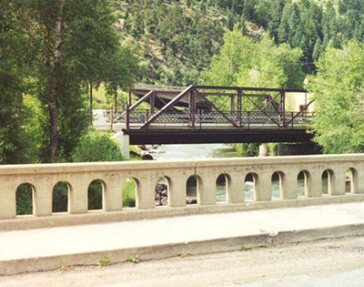
This scene in
Idaho Springs shows three generations of bridges over Clear Creek. In the
foreground is a 1931 concrete bridge and behind it is an earlier bridge
that leads to the main downtown street. In the background is the I-70
bridge. (July 1998 photo)
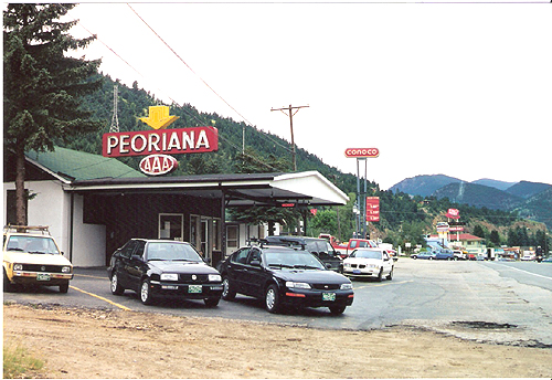
Idaho Springs has a busy
roadside landscape that includes the Peoriana Motel, whose name must have
Illinois origins. Today, highways 6 and 40 share a common route with I-70
for about twelve miles west of here. At that point Route 40 heads
northward up to 11,315 feet over Berthoud Pass, while 6 heads west,
climbing to 11,992 feet on Loveland Pass, the highest point on any federal
highway. (July 1998 photo)