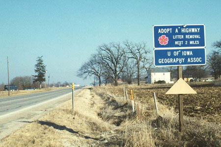
In March 1997 geographers were
taking care of two miles of Route 6 west of South Amana. What a great
bunch, those Iowa geographers!
 Iowa County, Iowa

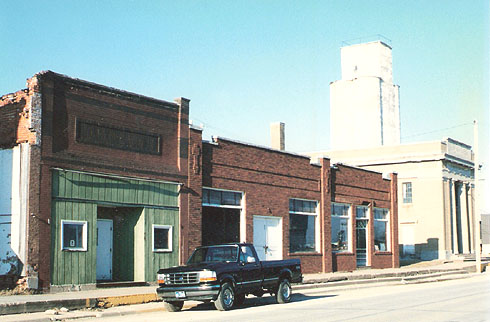
On Route 6 in Ladora, March 1997. On the far right is the Ladora Savings Bank building, which was built in 1920 and now houses a restaurant, the Ladora Bank Bistro. The building is on the National Register of Historic Places.
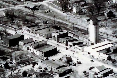
This 1940s aerial photo, facing northwest, places the bank building into the context of Ladora, a town with a population of 273 in 1950 (about the same as today). Pacific Street carried Route 6 past the bank and other businesses. To the north of the bank and the large grain elevator are the tracks of the Rock Island Railroad. This photo is from the Bistro Web site: http://www.ladorabank.com/index.html
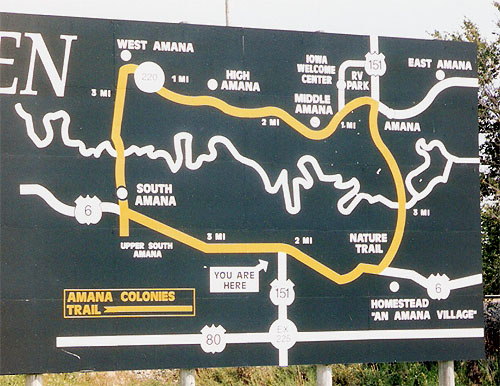
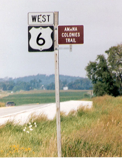
Route 6 meanders through some scenic territory while passing by two of the Amana Colonies, South Amana and Homestead. The seven Amana villages were part of a communal society for decades after originally being settled by German Pietists in 1855. In recent times Amana has been better known for the manufacture of appliances and for various tourist attractions. (August 2004 photos)