|
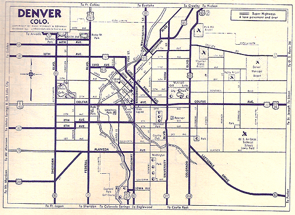
Before Route 6 was rerouted onto the
6th Avenue Freeway, Denver's first freeway, it shared West Colfax
Avenue with Route 40. Colfax is said to be the longest highway
commercial strip in the U. S., extending outward from downtown
Denver both east and west for a total of about 26 miles. This
1946 Rand McNally road atlas map shows the Route 6 path through
Denver, sharing Colfax with 40 from Colorado Boulevard westward
through town.
|
|
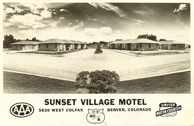
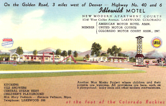
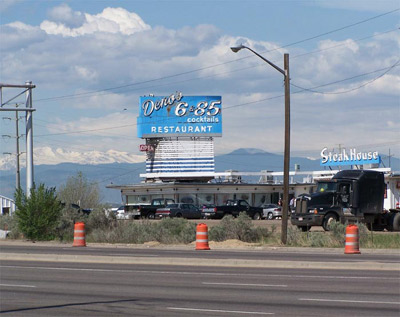
These
postcards shows two of the scores of
motels on the 40/6 Colfax strip west of downtown when 6 shared the
road with U. S. 40.
|
|
|
|
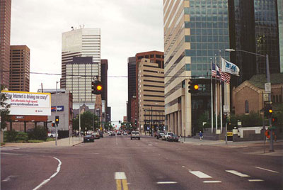
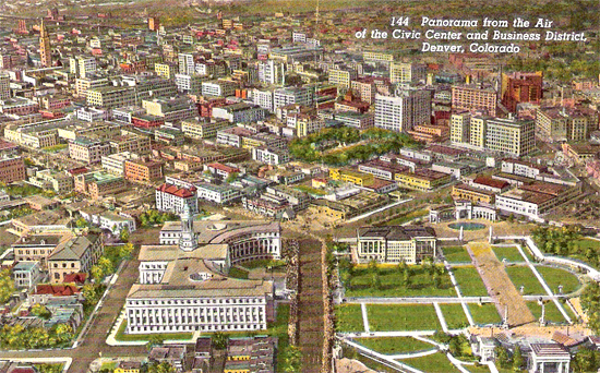
Route 6 has always gone
right through downtown Denver. In the upper left of this 1950s
postcard view is the Daniels & Fisher Tower, the
tallest building in Denver for several decades. In the foreground is
the Colorado state Capitol building and Civic Center.
|
|
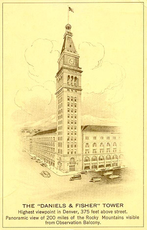
The list of historic tall buildings on
or visible from Route 6 is extensive. It includes Travelers Tower
(Hartford), the Terminal Tower (Cleveland), the Le Claire Hotel (Moline), the WOW Building
(Omaha), the Nebraska State Capitol, the Mizpah Hotel (Tonopah), and the Los
Angeles City Hall.
One
of the most significant is the 1911 Daniels & Fisher Tower,
which is 325 feet tall. When completed it was the third tallest building
in the United States, exceeded in height only by the Metropolitan Life and
Singer Buildings in New York. It remained the tallest in Denver until the
mid-1950s. This 1920s or 1930s postcard shows both the tower and its companion department
store building. Today, only the tower remains, but it is now
difficult to see from Route 6 because of the growth of taller skyscrapers
that partially obscure the view. As of 2010, it was the 27th tallest building
in Denver. |
|
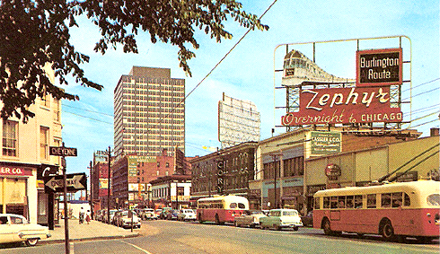
| This 1950s postcard shows another view of
Broadway. At the time the CB&Q (Burlington railroad) ran two of their
streamlined Zephyrs from here to Chicago. The Denver Zephyr, which
included Vista-Dome cars after 1955, made the trip in sixteen
hours. The California Zephyr went through here on the way to the
West Coast, using the Denver, Rio Grande & Western route to
Salt Lake City, a route that highway 6 follows in western Colorado
and eastern Utah. Because both trains ran overnight across the Great
Plains, most stations in Nebraska never saw them in
daylight. The July 1960 Official Guide of
the Railways lists the four Zepher stops (two trains each
way) at Hastings between 2 and 3:30 a.m.! |
|
 Denver County, Colorado